This walk beginning up the Limb Valley starts within Sheffield, from Ecclesall Road South at the outskirts of the city. Climbing the Limb Valley route which forms a part of the Sheffield Round Walk to the Norfolk Arms pub at Ringinglow, the walk then heads along the Houndkirk Road towards Fox House, before turning left to pass Houndkirk Hill. The return to the start takes in minor roads at the edge of Dore and touches the edge of Ecclesall Woods.
Houndkirk Hill & Limb Valley Walk Overview
Distance: 7.15 Miles (11.5km)
Total Ascent: 1048ft / 319m
Time: 3 hr
Map: Ordnance Survey Explorer 278 (Sheffield & Barnsley)
Get this route on the OS maps website & app
The time is loosely based on Naismith’s Rule and will vary depending on the walker.
Getting There
By Car:
Roadside parking at the foot of Limb Valley, beside the entrance to Whirlow Brook Park, off Ecclesall Road South (nearby postcode S11 9QE)
Public Transport:
Numerous buses from Sheffield City Centre to Ecclesall Road South/Limb Lane (271/272, 81/82, 218)
Limb Valley Walk to Houndkirk Road
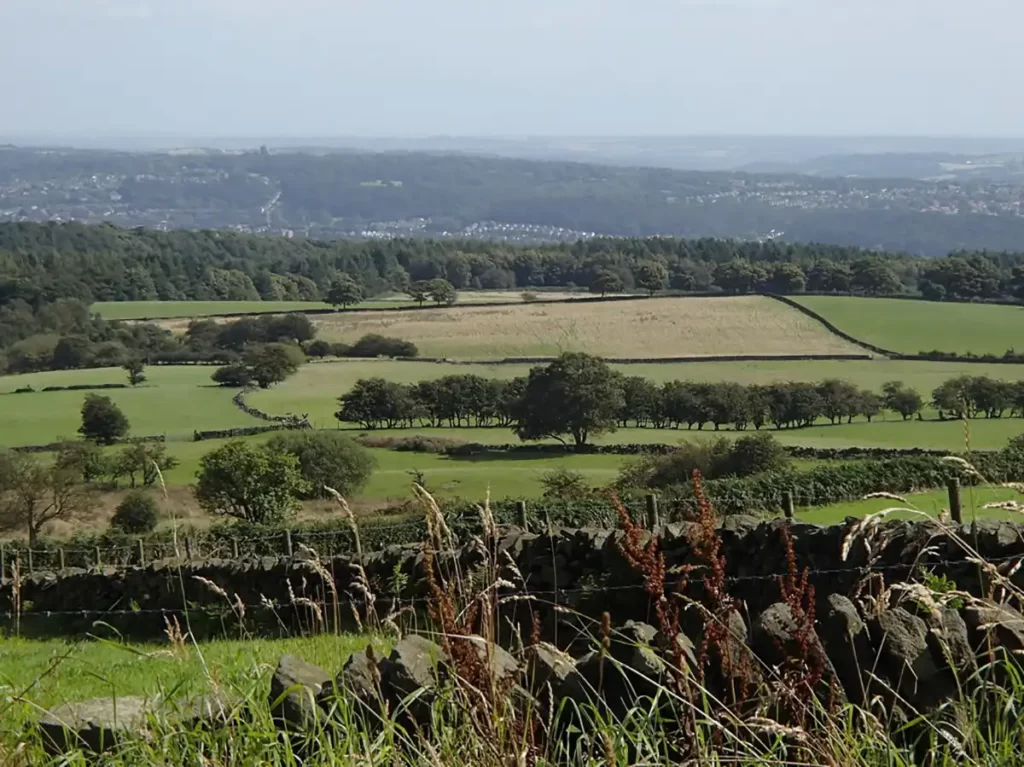
Begin the walk at the semi-circular side road just off the main Ecclesall Road South. Take the Public Footpath heading northeast beside a short row of bollards, signposted “Sheffield Round Walk”. Pass a rock face near the start of the footpath and follow the path past a lake on your left.
Follow the main path which ascends Limb Valley for approximately 1¼ miles. The path loosely follows the line of Limb Brook to your left.
In winter, or after heavy rainfall, sections of this track can become quite muddy, boots or at least high-ankled shoes are recommended.
On reaching the top of Limb Valley pass through a gate and keep following the “Sheffield Round Walk” signs until you reach a road via a stile.
Turn left and walk south along Sheephill Road to the bend. Where the road bends left, carry straight ahead / slight right up the drive onto the wide sandy track, signed “Public Byway.”
Houndkirk Road to Houndkirk Hill
Follow the wide track through a car parking area with the plantation on your right. Pass through a gate and continue along the track across the moor. Approximately 1.6 miles / 2.6km after joining the track you will reach a large broken-walled enclosure left of the track. A public Footpath signpost to the right points left and right. Turn left through the enclosure along a narrow path.
Follow the narrow path to a post in the distance, with Houndkirk Hill on your left.
After the post, follow the narrow path down to the main A625 Hathersage Road, over a stile.
Causeway Head
Cross the A625 with care and walk down Whitelow Lane opposite the footpath. After a while, the road bears right, then farther ahead turns sharply left. Continue following the lane as it turns to the left, then the right and passes over a stream with stone walls on either side of the narrow road. The lane turns right again, ascending to a small crossroads.
At the crossroads, turn left onto Newfield Lane with the houses of Causeway Head on your right and continue to the very end of Newfield Lane.
Turn right onto Brickhouse lane, with houses to your right and fields to your left. Follow Brickhouse Lane to the end and another T-junction, with a post box on the left. Turn right along Causeway Head Road and cross to the left-hand side after a bus stop.
Follow Causeway Head Road until the junction with Parkers Lane on the left. Turn left along Parkers Lane and continue to the next junction at the end of the lane. Turn left onto Limb Lane. Limb Lane bears left as it passes the entrance to a car park on the right. Continue past the car park to a house and public bridleway sign on the right. Turn right down the bridleway track.
Ecclesall Woods & Sports Field
Follow the bridleway as it descends and passes a cottage on your left. Continue down the track as a stream runs alongside on the right. When you reach a path junction with wooden gates, turn left.

Follow the path which runs through the edge of Ecclesall Woods. Where the path forks, take the left path and come to a gap in a stone wall leading into a field.
Keep roughly to the right of the sports field as it gently climbs. At the far right corner of the field, follow steps up to the A625 Ecclesall Road South. Cross the road carefully to return to the start.